

Trending Now
 Biofuels in Shipping: A Transitional Solution or Long-Term Strategy?
 8 Reasons Why Trains Are Still One of the Best Ways to Travel
 Interview with Champak Panda, MD-Rolling Stock & Components, Alstom India
 Beyond the Tailpipe: The Case for African Electric Mass Transit
 A Rejected Claim Is Not Always the End, What Car Owners Can Do Next?
 Monsoon Bike Insurance Guide: Covers That Matter before the Rains Begin
 How Train Transportation Creates Faster and Smarter Cities
 PM Modi inaugurates Noida International Airport, Boosting North India’s Multi-Modal connectivity
 Things You Can Do While on Long Train Rides: Stay Productive, Relaxed, and Entertained
 Rail Chamber launches 2026–27 National Membership Drive to strengthen Asia’s Railway Ecosystem
NCRTC begins work of utility mapping on Delhi-Gurugram-SNB RRTS
Anushka Khare
Posted on: 2019-04-10 10:28:49
Viewer: 2,685
Comments: 0
Country: India
City: New Delhi
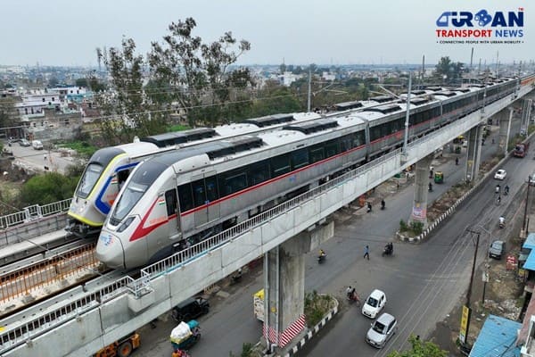
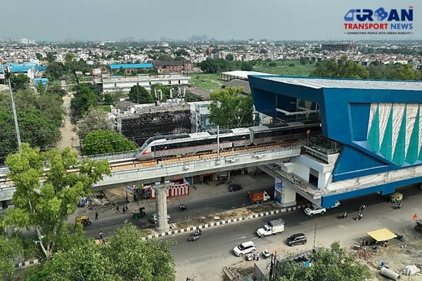
New Delhi (Urban Transport News): The National Capital Region Transport Corpoartion (NCRTC) has started the work of mapping the underground utilities on the Delhi-Gurguram-SNB (Shahjahanpur-Neemrana-Behror Urban Complex) RRTS corridor. It will execute the process through a Ground Penetrating Radar (GPR) technology. This information has been shared by the NCRTC today. The underground utility mapping is a process of identifying the position and labelling public utility mains which are located underground.
These mains may include lines for telecommunication, electricity distribution, natural gas, water mains, and wastewater pipes. The GPR method uses radar pulses to detect these utilities. The investigation is being conducted from IDPL Complex, Gurugram and will continue for approximately 40 days. The high-speed Regional Rapid Transit System (RRTS) rail will cover the distance of 106 km from Sarai Kale Khan in Delhi to SNB in approximately 70 minutes. It is a new, dedicated, high-speed, high-capacity, comfortable regional rail-based commuter service connecting regional nodes of NCR to Delhi. This RRTS smart line will pass through the urbanized and industrialized areas of Haryana and connect Delhi airport with the RRTS network, increasing the overall productivity of NCR.
The corridor will strengthen the regional transport infrastructure by providing a fast, safe, comfortable and reliable mobility option to the residents of Delhi, Gurugram, Rewari, Manesar, Daruheda, Bawal and nearby areas. The fast commuting connecting Delhi to nearby regions will be immensely beneficial in decongesting Delhi and its roads, providing citizens the choice to live & work in different regional nodes to lead a better quality of life. Once constructed, the corridor is expected to bring down the travel time between Delhi-SNB to about 70 minutes.
This corridor will not only offer mass transit benefits but also bring in wide range of economic benefits to the society including effectively curbing pollution, improving safety & reliability of commute and creating employment as well as new economic opportunities. Apart from unlocking economic development potential of the region, such high-speed commute will bring people and places closer enabling polycentric growth in NCR.

Anushka Khare
Anushka Khare is a Post Graduate in Journalism from Makhanlal Chaturvedi National University of Journalism and Communication, Bhopal (MP). She covers stories and updates from India.