

Trending Now
 Biofuels in Shipping: A Transitional Solution or Long-Term Strategy?
 8 Reasons Why Trains Are Still One of the Best Ways to Travel
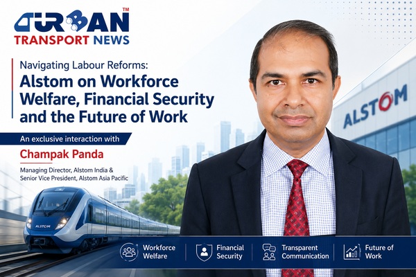 Interview with Champak Panda, MD-Rolling Stock & Components, Alstom India
 Beyond the Tailpipe: The Case for African Electric Mass Transit
 A Rejected Claim Is Not Always the End, What Car Owners Can Do Next?
 Monsoon Bike Insurance Guide: Covers That Matter before the Rains Begin
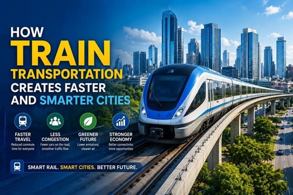 How Train Transportation Creates Faster and Smarter Cities
 PM Modi inaugurates Noida International Airport, Boosting North India’s Multi-Modal connectivity
 Things You Can Do While on Long Train Rides: Stay Productive, Relaxed, and Entertained
 Rail Chamber launches 2026–27 National Membership Drive to strengthen Asia’s Railway Ecosystem
GDA to prepare plans for TOD zones alongside MRTS and RRTS corridors
Anushka Khare
Posted on: 2022-09-07 06:55:00
Viewer: 6,409
Comments: 0
Country: India
City: Ghaziabad
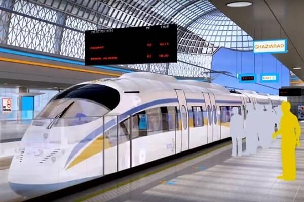
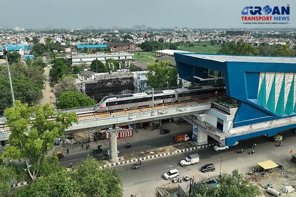
Ghaziabad, India (Urban Transport News): Uttar Pradesh Government has directed the Ghaziabad Development Authority (GDA) to prepare plans for the transit-oriented development (TOD) zones alongside different mass transit systems such as the Metro Rail and Regional Rapid Transit System (RRTS), in line with the newly approved TOD policy of the Uttar Pradesh.
According to the government, the TOD policy aims for the planned development alongside high-speed mass transit systems and in Ghaziabad, such areas include alignments along the Metro and the RRTS, besides highways and expressways. The TOD concept is fast growing and aims at creating vibrant, sustainable and liveable communities that are generally cantered near high-quality train systems.
“The authority has been asked to prepare special plans for TOD zones, or mixed land use zones, for the development of residential, commercial and other types of constructions. It has been specified that the area in a 1.5km radius of stations and a 500m radius of the mass transit line will be developed as TOD zones,” said Rajiv Ratan Sah, Town Planner, GDA.
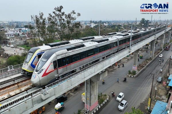
The 82km RRTS corridor has 25 stations and 22 of them fall in Uttar Pradesh, under the jurisdiction of Ghaziabad and Meerut districts. Likewise, the Blue Line of Delhi Metro has two stations in Ghaziabad while the Red Line has eight stations in Ghaziabad.
“The areas nearby these projects need to be developed in a well-planned manner. So, the TOD policy is a welcome step and it will be beneficial for residents, commuters and businesses. It will also boost the local economy and provide ample employment opportunities. The concept of TOD is already prevalent in many foreign countries,” said Gaurav Gupta, Secretary, Confederation of Real Estate Developers’ Associations of India (NCR).
According to the new TOD policy, the Uttar Pradesh government has defined three types of TOD zones.
The first one is the ”corridor TOD zone” within a 500-meter radius of the mass transit alignment, while the second encompasses areas in a 1.5km radius of stations. The third is defined as a ”high potential zone” that will include special areas alongside high-speed train corridors, expressways, and highways.
The GDA has already marked out zones under the third category alongside the RRTS corridor in Guldhar (250 hectares) and Duhai (400 hectares) in the draft Master Plan 2031 which is likely to be approved by the government by the end of the year. Ghaziabad also has Eastern Peripheral Expressway and Delhi Meerut Expressway passing through it.
“In TOD projects of up to one hectare, there will be a provision of 3 to 4-floor area ratio (FAR) in developed areas along with coverage (area on which construction is allowed) of 45%. In undeveloped areas, the FAR will be 3.5 to 5 with a coverage of up to 40%. In projects above 1 hectare, the FAR will remain the same for developed and undeveloped areas while the coverage will be 35% and 30%, respectively,” Sah added.
The floor area ratio (FAR) is the ratio of a building's total floor area (gross floor area) to the size of the piece of land upon which it is built. It is often used as one of the regulations in city planning along with the building-to-land ratio. FAR provides for more vertical expansion and the scope of construction increases with an increase in FAR.


Anushka Khare
Anushka Khare is a Post Graduate in Journalism from Makhanlal Chaturvedi National University of Journalism and Communication, Bhopal (MP). She covers stories and updates from India.