

Trending Now
 Biofuels in Shipping: A Transitional Solution or Long-Term Strategy?
 8 Reasons Why Trains Are Still One of the Best Ways to Travel
 Interview with Champak Panda, MD-Rolling Stock & Components, Alstom India
 Beyond the Tailpipe: The Case for African Electric Mass Transit
 A Rejected Claim Is Not Always the End, What Car Owners Can Do Next?
 Monsoon Bike Insurance Guide: Covers That Matter before the Rains Begin
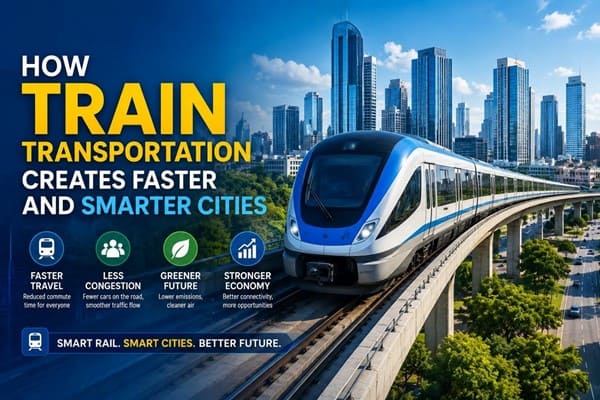 How Train Transportation Creates Faster and Smarter Cities
 PM Modi inaugurates Noida International Airport, Boosting North India’s Multi-Modal connectivity
 Things You Can Do While on Long Train Rides: Stay Productive, Relaxed, and Entertained
 Rail Chamber launches 2026–27 National Membership Drive to strengthen Asia’s Railway Ecosystem
LiDAR Survey begins for India's Delhi-Varanasi High Speed Bullet Train Project
Naomi Pandya
Posted on: 2021-01-12 18:27:00
Viewer: 5,949
Comments: 0
Country: India
City: New Delhi
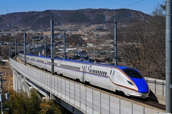
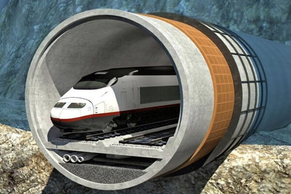
New Delhi, India (Urban Transport News): The National High Speed Rail Corporation Limited (NHSRCL) has commenced LiDAR (Aerial Ground) survey for the proposed 865-km Delhi-Varanasi High Speed Rail Corridor on 10th January 2021 from Greater Noida where a Helicopter fitted with state of art Aerial LiDAR and Imagery sensors took the first flight and captured the data related to the ground survey.
Earlier NHSRCL had informed that they are adopting Light Detection and Ranging Survey (LiDAR) technology which provides all the ground details and data in 3-4 months wherein this process normally takes 10-12 months.
According to NHSRCL, the ground survey is a crucial activity for any linear infrastructure project as the survey provides accurate details of areas around the alignment. This technique uses a combination of Laser data, GPS data, flight parameters and actual photographs to give accurate survey data.
During the Aerial LiDAR survey, 300 metres (150 metres on either side) of the area around the proposed alignment is being captured for the survey purpose. After the collection of data, Three Dimensional (3D) Topographical map of 50 metres corridor on either side of the proposed alignment on a scale of 1:2500 will be available for designing of the vertical & horizontal alignment, structures, location of the stations and depots, Land requirement for the corridor, identification of project affected plots/structures, Right of Way etc.
As per the nine standard benchmarks set by the Survey of India in this field, 86 master control points and 350 secondary control points have been established and these coordinates are being used for flying the aircraft on Delhi-Varanasi HSR corridor alignment.
To provide clear pictures of the structures, trees and other minute ground details, 60-megapixel cameras are being used for the LiDAR survey.
Presently, NHSRCL has been entrusted to prepare the Detailed Project Reports (DPRs) for seven High Speed Rail Corridors and LiDAR survey technique will be used for ground survey in all the corridors.
The feasibility report for Delhi - Varanasi High Speed Rail Corridor has been submitted to Ministry of Railways on 29th October 2020.
The proposed plan for Delhi - Varanasi High Speed Rail Corridor will connect the Delhi with major cities like Mathura, Agra, Etawah, Lucknow, Raebareli, Prayagraj, Bhadohi, Varanasi and Ayodhya. The main corridor from Delhi to Varanasi will also be connected to Ayodhya.
The Delhi - Varanasi High Speed Rail Corridor will also connect the upcoming international airport at Jewar in Gautam Buddha Nagar District of Uttar Pradesh.
For more details, please explore the Delhi - Varanasi High Speed Rail page of Urban Transport News.


Naomi Pandya
Naomi is associated with Urban Transport News since its inception. She is working as a Corporate News Reporter.