

Trending Now
 PM Modi inaugurates Noida International Airport, Boosting North India’s Multi-Modal connectivity
 Things You Can Do While on Long Train Rides: Stay Productive, Relaxed, and Entertained
 Rail Chamber launches 2026–27 National Membership Drive to strengthen Asia’s Railway Ecosystem
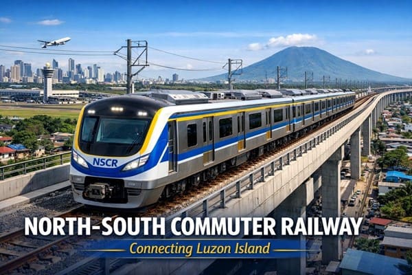 North-South Commuter Railway (NSCR): Modern Train Network Connecting Luzon Island
 India launched Bharat Taxi Service as First Cooperative-Owned Digital Mobility Platform
 India places World’s First Live Commercial Order for Hyperloop-Based Cargo Logistics
 How Weigh-in-Motion Systems Are Revolutionizing Freight Safety
 Women Powering India’s Electric Mobility Revolution
 Rail Chamber Launched to Strengthen India’s Global Railway Leadership
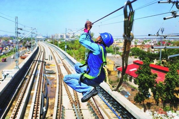 Wage and Hour Enforcement Under the Massachusetts Wage Act and Connecticut Labor Standards
KMRL begins Drone-based LiDAR survey for Kochi Metro Phase 2
Naomi Pandya
Posted on: 2022-10-10 07:20:00
Viewer: 4,230
Comments: 0
Country: India
City: Kochi
Kochi, India (Urban Transport News): Kochi Metro Rail Limited (KMRL) has started a drone-based LiDAR (Light Detection and Ranging) survey as part of the preliminary design and planning works of the Kochi Mtro’s 11.20-km Phase 2 extension to Kakkanad.
The survey is being carried out along the Kochi Metro Phase 2 alignment from Jawaharlal Nehru Stadium to Infopark, Kakkanad. It will help KMRL to map and update the recent developments and also the changes in topographical features along the alignment in recent years. It will help plan non-motorised transport initiatives and first-and-last-mile connectivity on the proposed stretch.
Last month, Central Government had approved the Phase 2 project of Kochi Metro. Now KMRL will invite tenders for a project management consultancy by the end of this week. It has also been decided to start geotechnical investigation by the mid of October.
According to KMRL, around 75% of land acquisition for road widening from Palarivattom Junction to Infopark has been completed. The remaining acquisition process is in the final stages.
"As far as land acquisition for stations are concerned, administrative sanction from the State government is expected soon. The construction tender is expected to be published by the end of the year, following which construction works could begin by January," said an official release.


Naomi Pandya
Naomi is associated with Urban Transport News since its inception. She is working as a Corporate News Reporter.