

Trending Now
 Interview with Champak Panda, MD-Rolling Stock & Components, Alstom India
 Beyond the Tailpipe: The Case for African Electric Mass Transit
 A Rejected Claim Is Not Always the End, What Car Owners Can Do Next?
 Monsoon Bike Insurance Guide: Covers That Matter before the Rains Begin
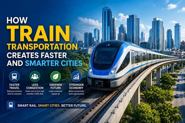 How Train Transportation Creates Faster and Smarter Cities
 PM Modi inaugurates Noida International Airport, Boosting North India’s Multi-Modal connectivity
 Things You Can Do While on Long Train Rides: Stay Productive, Relaxed, and Entertained
 Rail Chamber launches 2026–27 National Membership Drive to strengthen Asia’s Railway Ecosystem
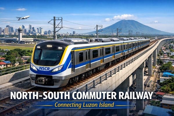 North-South Commuter Railway (NSCR): Modern Train Network Connecting Luzon Island
- India launched Bharat Taxi Service as First Cooperative-Owned Digital Mobility Platform
Delhi Metro plans to use drones for monitoring its elevated metro corridors
Anushka Khare
Posted on: 2022-03-24 07:30:00
Viewer: 4,642
Comments: 0
Country: India
City: New Delhi
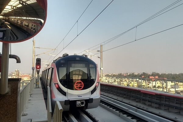
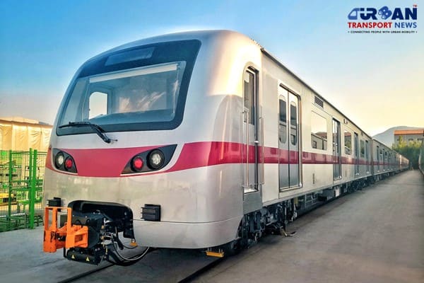
New Delhi, India (Urban Transport News): The Delhi Metro Rail Corporation Limited (DMRC) is now going to stop the manual inspection system of its elevated metro corridors. DMRC will carry out the inspection of its elevated route network through drones in a phased manner. “DMRC will use drones for inspection as an advance means for a better view and access, doing away with the manual mode of inspection that takes more time and labour. The inspection will be done in a phased manner at all elevated sections,” said DMRC spokesperson.
Presently the Delhi Metro Rail Network is covering about 391-km length in Delhi - NCR with 286 stations (including the Noida-Greater Noida Metro corridor) and around 65 percent of the Delhi Metro network comprises elevated sections, which are affected by the elements over the years. A large section of the metro rail network is now 15-20 years old and the structures get affected by factors like climate, train movement, material life, etc.
“With the passage of time, structures are anticipated to be affected due to several external factors such as climate, train movement, material life,” said spokesperson adding that such an inspection would help in analyzing and rectifying the issues to make the structures last longer.
According to the plan, the drone inspection includes a thorough checking of all minute elements related to civil structures, from bearings to viaducts. “This also includes elevated structures like foot overbridges, piers, girders, ramps. This is a routine exercise being conducted in all infrastructure projects to keep a check on the safety aspects of civil structures,” he added.
To carry out drone surveys, DMRC will engage some agencies that will use drones suitable for aerial surveys with high-resolution 4k calibrated cameras. The camera system will be fitted with gimbals to ensure it remains stable and captures clear images based on the precise location given by Global Navigation Satellites System. The various aspects of the inspection included ensuring the safety of structures, finding out their physical condition, detecting any abnormality or defects at an early stage, and identifying actual and potential sources of a problem.
Such inspections will help DMRC to record systematically and periodically the condition of a structure, which will enable in identifying any significant structural changes and defects. The survey will also help DMRC plan and carry out maintenance repairs, and strengthen and replace structural components, the spokesperson said. It will also provide feedback to designers and construction engineers on the features creating maintenance problems.
Once any abnormality or defect is detected during the drone survey, DMRC’s teams will reach the exact spot with the help of sky lifts, scaffoldings and trolleys to carry out a detailed inspection.


Anushka Khare
Anushka Khare is a Post Graduate in Journalism from Makhanlal Chaturvedi National University of Journalism and Communication, Bhopal (MP). She covers stories and updates from India.