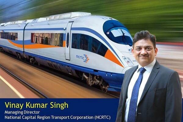
 IndiGo to launch Urban Electric Air Taxis between Delhi to Gurugram
 Swisspod secures Strategic Investment to advance the Hyperloop Transportation
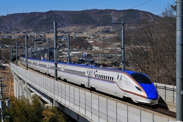 Siemens Mobility revolutionizes Copenhagen's S-bane Network with Driverless Technology
 Unlocking prosperity between India and Myanmar: The Kaladan Multi-Modal Transit Project
 Is the RRTS Truly Accessible to the Common Man or Only the Privileged?
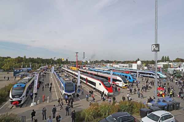 Alstom sold its Rail Signalling Technology Business to Knorr-Bremse for €630 million
 Vensa Infrastructure wins ₹412.58 crore civil contract for Hisar Airport
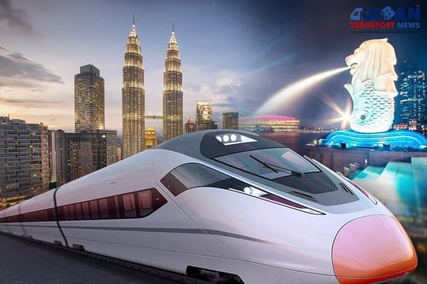 Kuala Lumpur-Singapore high-speed rail project cost could be slashed to RM70 Billion
 Nevomo's MagRail Technology Selected for Hyperloop Freight Demonstrator
 Russia signs deal to procure bullet trains for Moscow - St. Petersburg high-speed line
Innovative use of CORS technology for RRTS
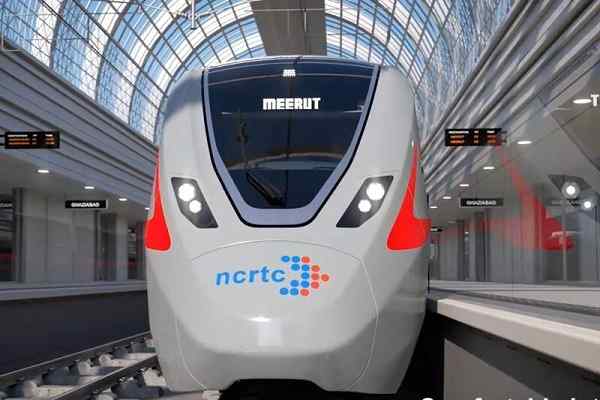
Linear infrastructure projects demand a high accuracy level of surveys so as to achieve the planned alignment. Given the design speed of 180 kmph & alignment either on viaducts or in tunnels leaves hardly any margin of tolerance in the case of RRTS structures. The requirement of meeting tight timelines necessitates simultaneous working on multiple sites. Also, ballastless tracks for RRTS are required to be laid at an accuracy level of as low as less than 5 mm.
Considering the criticality of the accuracy of surveys required, NCRTC went beyond the technologies being used in the country like ‘DGPS’ & ‘Total Station’ and took up the challenge to innovatively use application of a surveying technology called CORS (Continuously Operating Reference Station) for the construction of structures of RRTS Project.
CORS provides real-time accurate coordinates of any point within the geographical limits of the network. The system provides the repeatable precise values of coordinates at all times, without any effect of weather. This system works with inputs from multiple satellites & eliminates human error or accumulation of error even while working from part to whole.
CORS network has been set up for the first time in the country for a rail-based project. Engineering companies working on the Delhi-Meerut RRTS project are using this technology and have lauded this path-breaking initiative. Since the full-scale technology demonstration has been done by NCRTC, doors have been opened for other projects and organization to confidently use the technology for their specific applications. We at NCRTC are also supporting a couple of other high-speed/similar projects in procurement & customizing this survey technology.
This article first published on LinkedIn Pulse.
